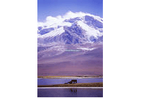
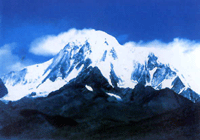
With an area of about 400,000 square km
and an average altitude of 1,000 - 2,000 m, Yunnan-Guizhou Plateau is located in
Yunnan and Guizhou provinces and is the fourth largest plateau in China.
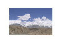
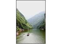
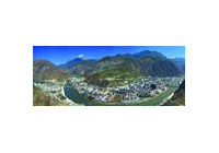
A great number of rivers have scoured out many deep and steep valleys on Yunnan-Guizhou
Plateau as it descends from west to east. The plateau terrian in Yunnan province
is comparatively complete, mostly in the form of of small basins among the mountains.
The plateau in Guizhou province, however, is bumpy and irregular, hence goes the
saying that, "in Guizhou there is no flat ground over three mils".
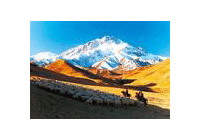
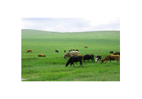
The basins have deep and fertile soil where agriculture is well developed and towns
are concentrated there.
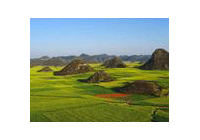
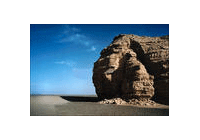
Karst topography is widely distributed on Yunnan-Guizhou Plateau. Karst forms gradually
when limestone is dissolved and eroded by water over a long period by water over
a long period of time under high temperature and plentiful rain. There are many
caves, underground rivers, stone shoots, stalagmits and other karst topography.
Yunnan-Guizhou Plateau is one of the areas where the karst topography has developed
most completely and typically in the world.
Do you know?
Basins are called bazi by the local people. Big basins cover more than 50
square km, while the small ones are only about 1 quare m.
Previous Next